Maps, Cartography from
New Arrivals
More Photos
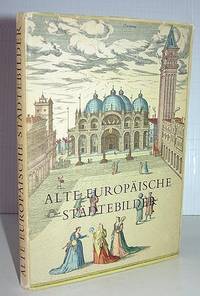
Alte Europaische Stadte-Bilder
by Braun, Georg; Franz Hogenberg, and Ruthardt Oehme
- Condition
- Used - Very Good
- Jacket Condition
- Very Good
- Published
- 1954
- Binding
- Hardcover
- Quantity Available
- 1
- Seller
-
Elizabethtown, New York, USA
- Item Price
-
$10.00
Show Details
Description:
Stuttgart: Tauchnitz, (1954.) Descriptions and maps of old European cities. From the Civitates Orbis Terrarum, the landmark atlas published between 1572 and 1617, with Georg Braun providing the text and Frans Hogenberg the engravings. Brief city descriptions and 24 double-page, color illustrations from the original atlas, depicting city views and plans, architectural and topographic features. All text is in German.… Read more about this item Item Price
$10.00
More Photos
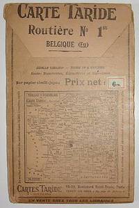
Carte Taride. Routiere No. 1. Belgique ((Road Map, Belgium)
by Cartes Taride
- Condition
- Used - Very Good
- Binding
- Soft cover
- Quantity Available
- 1
- Seller
-
Elizabethtown, New York, USA
- Item Price
-
$10.00
Show Details
Description:
Paris: Cartes Taride, no date. [Circa 1920s?] Large folding road map of Belgium. A detailed map showing routes, distances, signage, and other features. Printed in four colors on heavy paper stock -- "sur papier simili-japon." Approx. 28.5 by 35.5 inches when unfolded. 4.75 by 7.5 inches in the protective folder. Front of the folder depicts a map of France and… Read more about this item Item Price
$10.00